| Added | Tue, 24/09/2019 |
| Источники | |
| Феномены | |
| Версии |
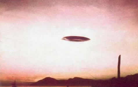
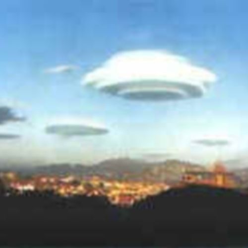
Lenticular clouds are often mistaken for UFOs both in photographs and when observed live. Here we will give some notes from newspapers and magazines of the mid-20th century from the website miger.ru concerning this topic.
"Science and Life", 1979, No. 8:
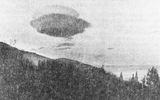
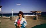
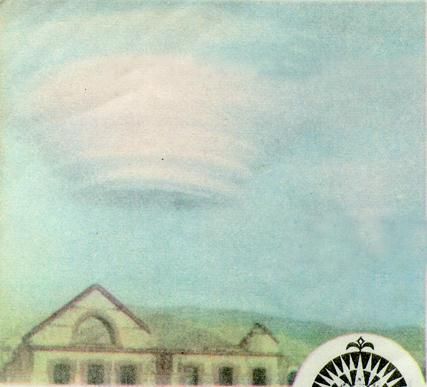
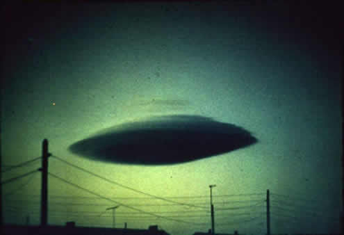
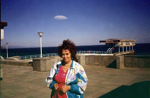
These pictures were taken in mid-February 1977 in Yalta. Explain what kind of phenomenon I saw?
V. CHEPRAK, Kupyansk, Kharkiv region.The kind of clouds that reader V. Cheprak photographed is really unusual. They can even be mistaken for some unidentified flying object. But this "object" does not fly, and does not move at all. These clouds remain motionless, no matter how strong the wind is.
However, meteorologists are well aware of them. In the international classification of clouds, they are listed in the category of cumulus clouds under the name "lenticularis", which means "lentil-shaped". In the German meteorological literature, you can find another name: "Torpedo-wolken", that is, "torpedo clouds". Sometimes they really resemble a streamlined shell or the body of a dolphin, shark, and sometimes they look like a shuttle, a spindle, a needle pointed at both ends...
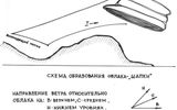
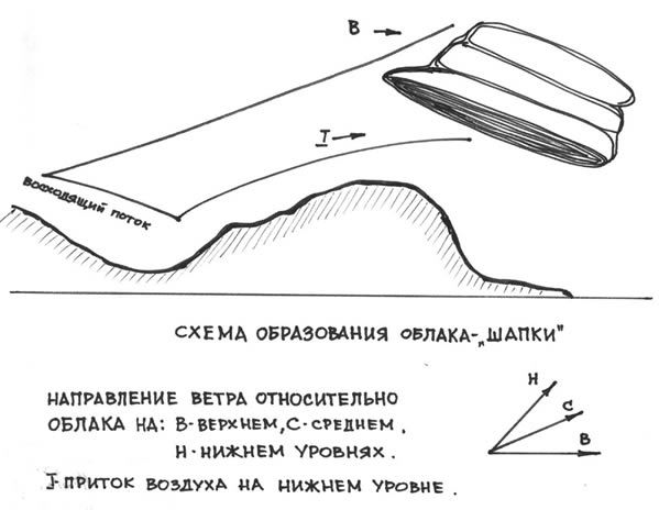
The air flow that sweeps over the earth's surface flows around obstacles, and air waves are formed at the same time. They arise from the leeward side of mountain ranges, behind ridges and individual peaks. Usually these are very long waves -from four to nineteen to twenty kilometers. Here on the crests of these air flow waves, at an altitude of two to six kilometers, moisture condensation occurs in the rising air, a cloud is formed. Since the process is continuous, the air rises above the condensation level, water vapor thickens, water droplets evaporate on the descending path and the cloud ends. That's why the lentil-shaped clouds do not change their position in space, but stand in the sky as if glued.
Often you can see a flag waving over the mountain. It's the same cloud. The air sweeps over the top, lined with ice or covered with snow. As it cools, it condenses, the water vapor contained in it thickens into a cloud hanging over the top, like a flag. It seems to be stationary, but in fact air flows through it. A person feels uncomfortable right under the cloud flag - fog and wind...
Lentil-shaped clouds and cloud flags very often serve as certain signs of worsening weather. Their appearance indicates that there are strong horizontal air currents in the atmosphere, forming waves over mountain obstacles, that there is a sufficiently high moisture content in the air. This is usually associated with the approach of an atmospheric front or with the energetic transfer of air from remote areas, from the south or from the north, which meteorologists call advection. Torpedo clouds are harbingers of advections, often accompanied by hurricane winds, rains, snowfalls, blizzards. Residents of the mountains and Arctic regions are perfectly familiar with these "weather forecasters".
"Around the World", 1984, No. 10:
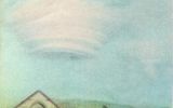
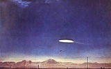
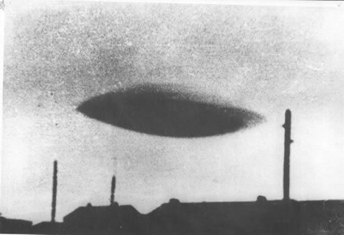
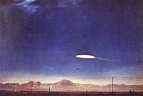
Such a photo twenty years ago could have caused a real sensation. However, there really were sensations of this kind. Similar pictures appeared in newspapers with catchy captions: "The existence of UFOs has been proven!", "Invasion!", "Aliens among us!" - and then they were reprinted in "solid" works on UFO-conduct as proof of the reality of "flying saucers". Meanwhile, the object captured in the photo has nothing to do with the problem of aliens. Modern science knows this atmospheric phenomenon: such a cloud formation is called a "standing wave".
True, it is quite rare, but this is not a reason to call every unusual cloud an "unidentified flying object". The mechanism of formation of "standing waves" is complex, but there is nothing incomprehensible in it. A combination of several conditions is simply necessary: a strong gusty wind with a speed of about 24-32 kilometers per hour, warm sunny weather, sharp temperature changes in the atmosphere, a mountainous landscape. Most often, cloud "plates" hover over deep mountain valleys or over wide flat ridges. In Europe, "standing waves" are observed in the foothills of the Sierra Nevada (Spain), in the area of the Maritime Alps (France), on the coast of the Tyrrhenian Sea south of Naples (Italy).
The photo we publish was taken in the south of Spain: a cloudy "flying saucer" hovered over the town of Salobrenia.
"Around the World", 1966, No. 5:
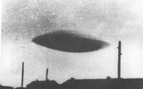
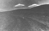
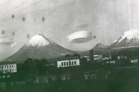
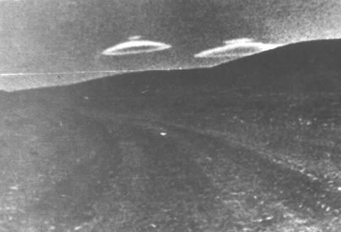
An interesting aerial phenomenon was recently noted in the mountains of the Czech Republic. The "flying saucer"- a lentil-shaped, airship-like cloud-hung motionless in the air for about half an hour, and then melted. Employees of the Prague Meteorological Institute reported that this cumulus cloud formed over the mountain range from its side, which is protected from the prevailing winds in these places.
"Young Technician", 1966, No. 5, p. 22:
A flying saucer? No, in the photo there is a cloud that was caught in the lens by one of the tourists traveling in the Bohemian Mountains. The "flying saucer", as explained in the Meteorological Institute of Prague, was formed on the side of the mountain range where there are no winds. In addition, the institute's staff said that this is not the first time they have encountered this type of cloud.
Lenticular clouds are often mistaken for UFOs both in photographs and when observed live. This is due to their appearance, similar to a lentil grain or a lens, as well as the peculiarities of movement - they hang in one place for a long time without movement, since in wave flows there is a continuous process of condensation of water vapor when the dew point height is reached and evaporation during the downward movement of air.
Log in or register to post comments

