| Added | Mon, 10/10/2016 |
| Sources | |
| Феномены | |
| Version type |
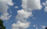
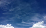
Clouds are the products of condensation of water vapor suspended in the atmosphere, visible in the sky from the surface of the earth. They consist of tiny drops of water and/or ice crystals (called cloud elements).
- droplet cloud elements are observed when the air temperature in the cloud is above -10 °C
- mixed composition (drops and crystals) – from -10 to -15 °C
- crystalline – at a temperature in the cloud below -15 °C
When the cloud elements are enlarged and their falling rate increases, they fall out of the clouds in the form of precipitation. As a rule, precipitation falls from clouds that at least in some layer have a mixed composition (cumulonimbus, layered-rain, highly layered). Weak drizzling precipitation (in the form of drizzle, snow grains or weak fine snow) can fall from clouds of uniform composition (droplet or crystalline) – layered, layered-cumulus.

|
TitleReduction |
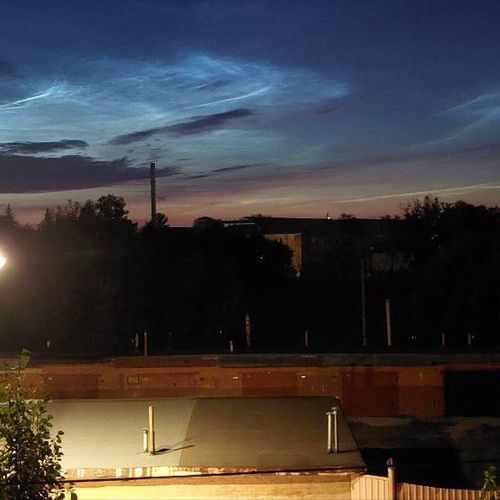
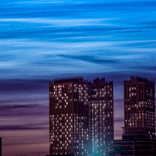
Height | Silvery |
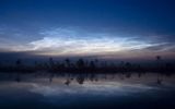
| About 85 km | ||
| Polar stratospheric | 20-30 km | |
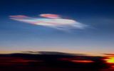
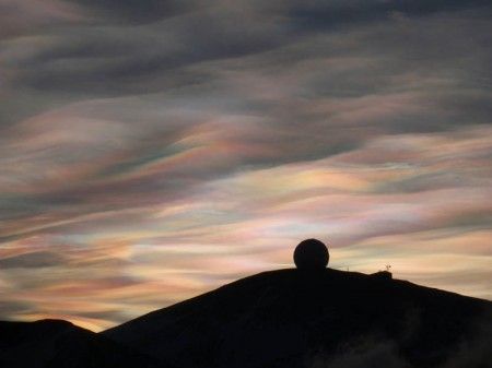
| Mother - of - pearl | About 20-30 km | |
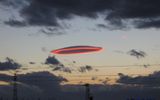
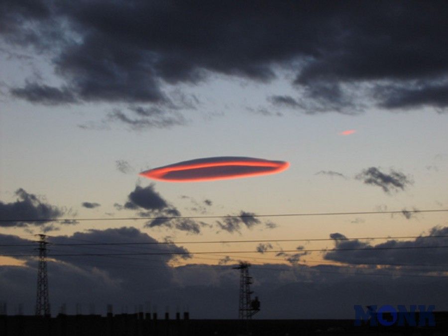
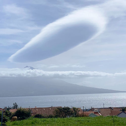
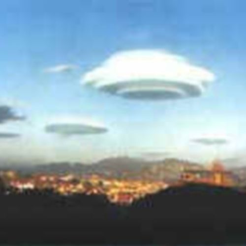
| Lenticular (lenticular) | 15-20 km | |
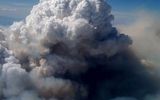
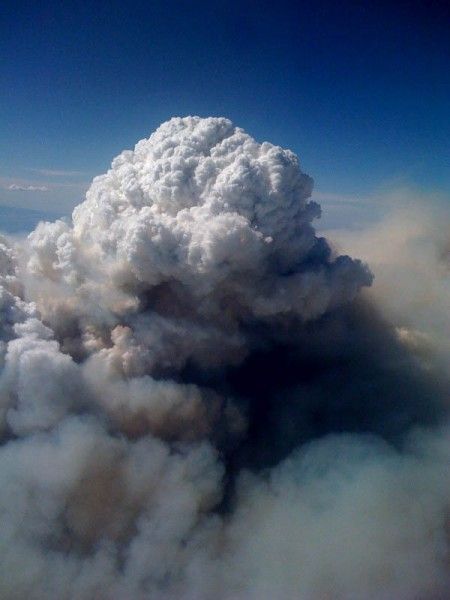
| Pyrocumulative | Up to 12 km | |
| Upper-tier clouds | ||
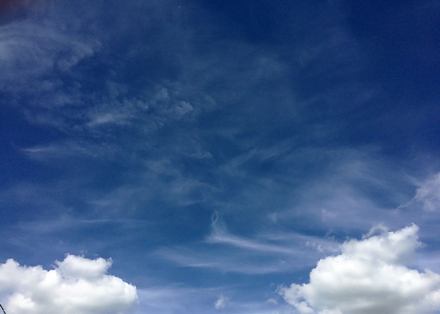
| Feathery Cirrus |
Ci | 6-12 km |
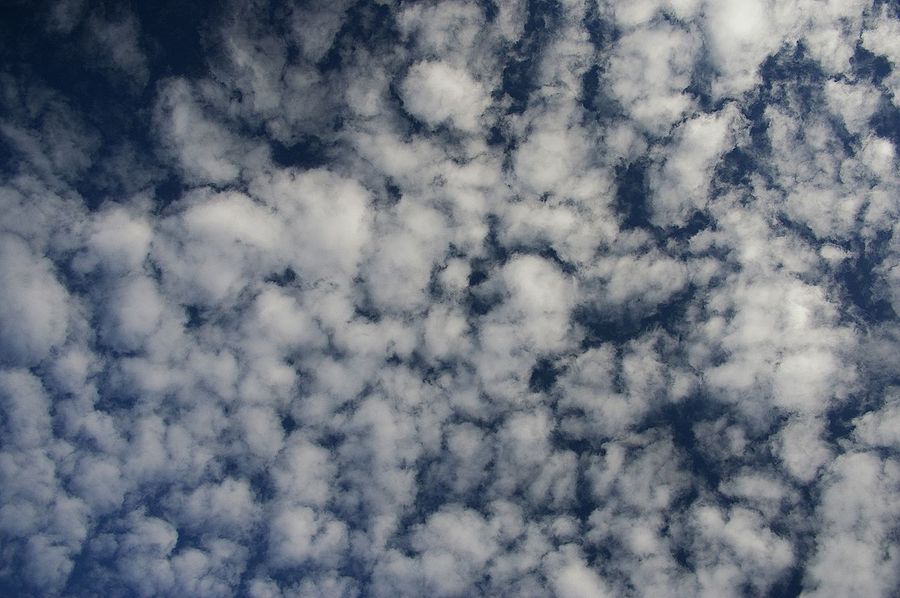
| Cirrus-cumulus Cirrocumulus |
Cc | 8-11 km |
| Pinnately layered Cirrostratus |
Cs | 8-11 km |
| Medium-tier clouds | ||
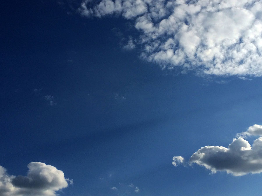
| High - beam Altocumulus |
Ac | 3-6 km |
| Highly layered Altostratus |
As | 3-5 km |
| Clouds of the lower tier | ||
| Layered-rain Nimbostratus |
Ns | Up to 3 km |
| Layered cumulus Stratocumulus |
Sc | 0.7-2 km |
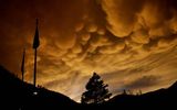
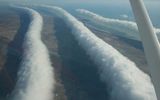
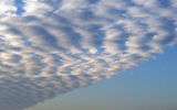
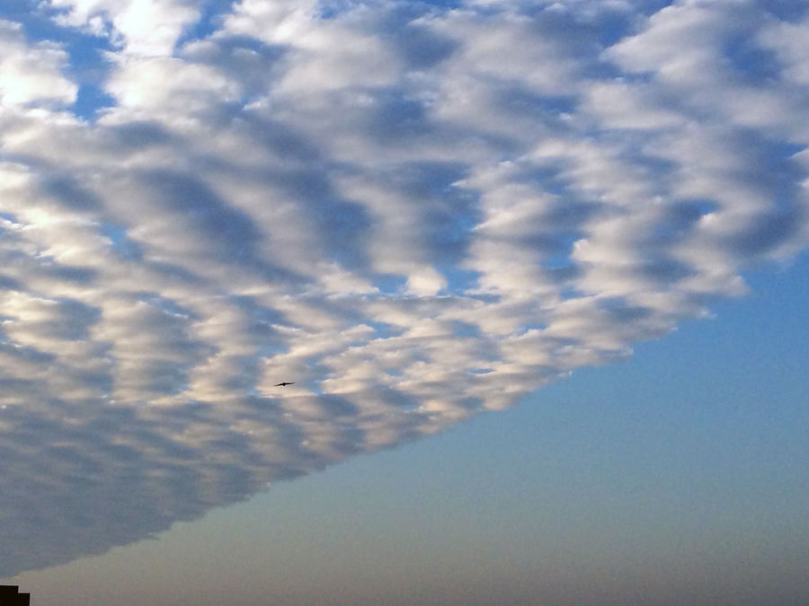
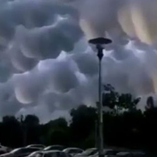
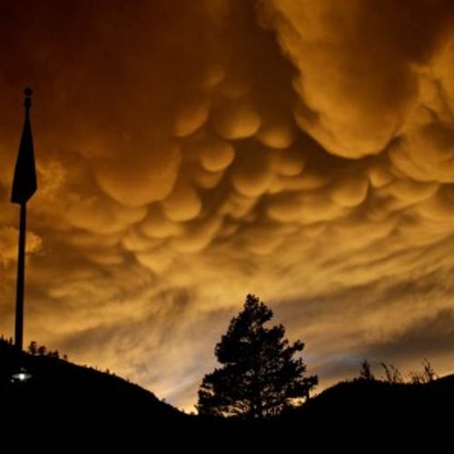
| Vymoobraznye | Sc mam | 0.7-2 km |
| Layered Stratus |
St | Up to 1 km |
| Cumulus Cumulus |
Cu | From 0.3 to 1.5 km |
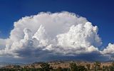
| Cumulonimbus Cumulonimbus |
Cb |
Bases from 0.5 to 1.5 km. The cloud can extend up to 12-13 km |
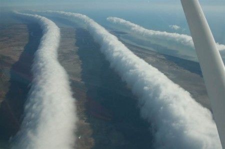
| Morning Gloria | 100-200 m | |
|
Technogenic clouds (Condensation trail) Cirrus tractus |
Ci trac | 10,000 - 0 m |
For each kind of cloud, you can specify in which tier or tiers these clouds occur. Depending on the temperature conditions and the height of the tropopause, the boundaries of the tiers in different latitudes differ somewhat.
The base of the clouds:
- the upper tier is located in polar latitudes at altitudes from 3 to 8 km, in temperate latitudes - from 6 to 13 and in tropical latitudes - from 6 to 18 km;
- middle tier – respectively from 2 to 4, from 2 to 7 and from 2 to 8 km;
- the lower tier at all latitudes - from the earth 's surface to 2 km.
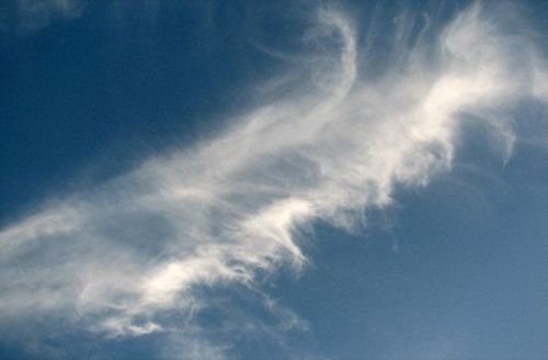
Cirrus, cirrus-cumulus and cirrus-layered clouds occur in the upper tier
High-beam and high-layered - in the middle tier
Layered-cumulus, layered and layered-rain - in the lower
Highly layered clouds often penetrate into the upper tier, layered-rain clouds usually penetrate into the overlying tiers.
The bases of cumulus and cumulonimbus clouds are almost always in the lower tier, but their tops often penetrate into the middle, and in cumulonimbus clouds and into the upper tier. Therefore, these clouds are called clouds of vertical development, as well as convective.
There are quite a lot of cloud forms, but in the modern version of the international classification, clouds are divided into ten main forms (genera) in appearance. In the main genera, a significant number of species, varieties and additional features are distinguished, intermediate forms also differ.
Separately, it is worth highlighting such a type of clouds as man—made or artificial clouds — Ci trac. (Cirrus tractus, cirrus - cirrus, tractus —trace).
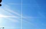
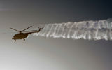
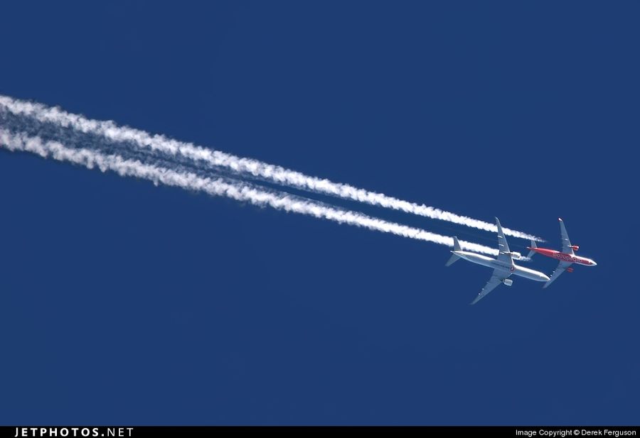
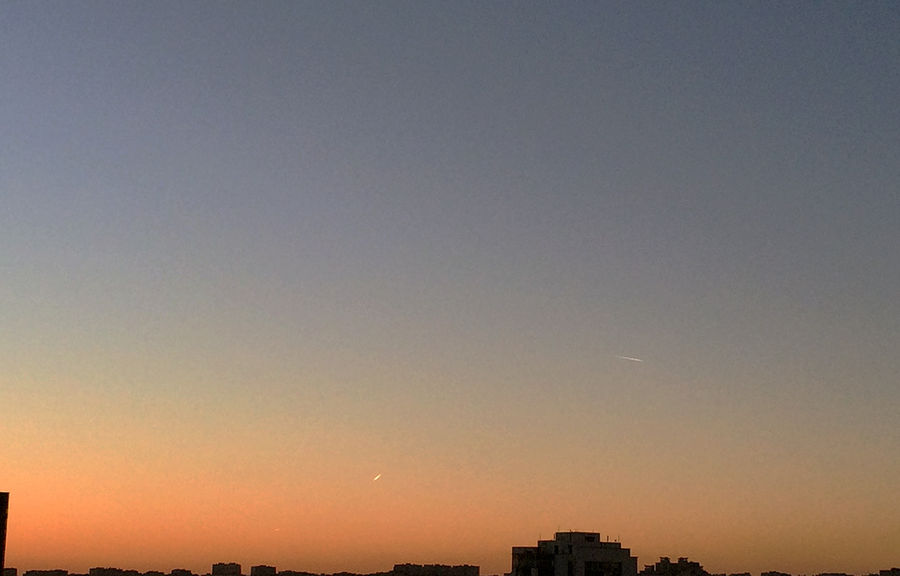
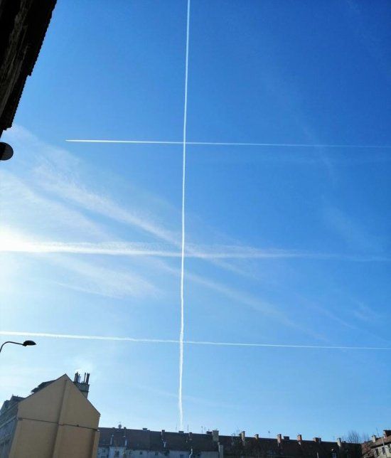
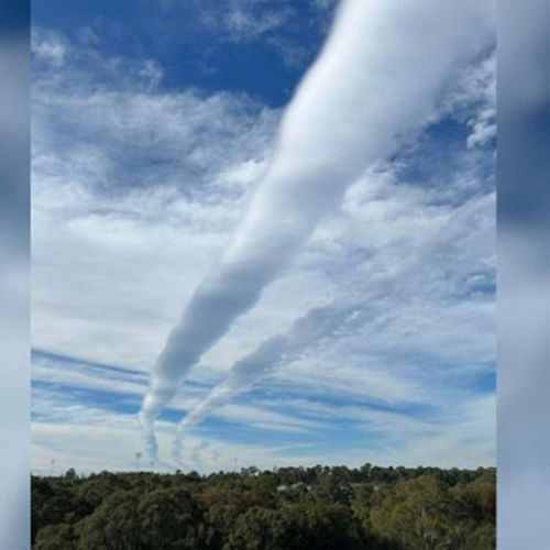
A condensation trail (erroneous names: obsolete - inversion trail, slang - jet trail) is a visible trail of condensed water vapor that occurs in the atmosphere behind moving aircraft under certain atmospheric conditions. The phenomenon is observed most often in the upper layers of the troposphere, much less often in the tropopause and stratosphere. In some cases, it can be observed at low altitudes.
The trace got its name from the condensation process that leads to its appearance. It occurs only under such conditions when the amount of water vapor exceeds the amount necessary for saturation. These conditions are determined by the dew point – the temperature at which the water vapor contained in the air reaches saturation at a given specific humidity and constant pressure. The degree of saturation is characterized by relative humidity – the percentage ratio of the amount of water vapor contained in the air to the amount required for saturation (at the same temperature).
In addition to these conditions, it is also necessary to have condensation centers. At temperatures up to -30... -40 °C, water vapor during condensation passes into the liquid phase, at temperatures below -30... -40 °C, water vapor immediately turns into ice crystals, bypassing the liquid phase.
The evaporation process also plays an important role in the formation of the trace, leading to its disappearance.
There are two main reasons for the conditions for condensation and the appearance of a trace:
1. An increase in air humidity when water vapor is added to atmospheric water vapor contained in the exhaust gases of an aircraft engine as a result of fuel combustion. This increases the dew point in a limited volume of air (behind the engines). If the dew point becomes higher than the ambient temperature, then as the exhaust gases cool down, excess water vapor condenses. The amount of water vapor emitted by the engine depends on its power and operating mode, that is, on fuel consumption.
2. Lowering the pressure and temperature of the air above the wing and inside the vortices that occur when various parts of the aircraft flow around. The most intense vortices are formed at the wingtips and the released flaps, as well as at the ends of the propeller blades. If the temperature drops below the dew point, excess atmospheric water vapor condenses in the area above the wing and inside the vortices. The degree of pressure and temperature decrease depends on such parameters as the mass of the aircraft, the coefficient of lift, the value of inductive resistance, etc. Traces formed as a result of a combination of these two causes are often observed. Condensation trace formation is also facilitated by condensation centers in the form of particles of unburned or not completely burned (soot) fuel.
Along with condensation, the reverse process also occurs - evaporation: particles of condensed water vapor evaporate, and the trace disappears over time. The evaporation rate is affected by the humidity of the air surrounding the trace and the aggregate state of the trace particles. The drier the air, the faster evaporation occurs. On the contrary, evaporation does not occur when water vapor is in a state of saturation. Condensed water vapor at an air temperature of -30 ... -40 ° C partially, and at a temperature below -40 ° C completely turns into crystals, the evaporation of ice crystals occurs much slower than water droplets.
Thus, the possibility of the appearance and the lifetime of the condensation trace, as well as its type, depend on the humidity and temperature of the atmospheric air (other things being equal). At low humidity and relatively high temperature, there may be no trace at all, since under such conditions water vapor does not reach a state of supersaturation. The higher the humidity and lower the temperature, the more water vapor condenses, the worse evaporation occurs, therefore, the trace is richer and longer. And at a relative humidity close to 100% and a low temperature, the largest amount of water vapor condenses, high humidity prevents the evaporation of trace particles, which leads to the formation of condensation traces that can exist for a long time, often turning into cirrus or cirrus-cumulus clouds. Since water vapor in the atmosphere is not evenly distributed, this is the reason for the same "uneven" trace.
Condensation traces are formed not only at high altitudes. At the ice airfield of the Scott Amundsen Polar Station (altitude 2830 m above sea level), under certain conditions (air temperature minus 50 degrees and below), this trace is formed already on takeoff or landing, and behind turboprop aircraft (C-130 Hercules from the "Snow Wing" of the US Air Force).
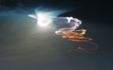
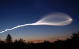
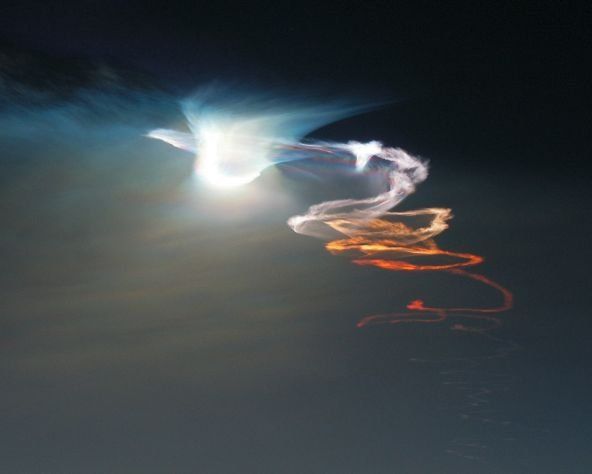
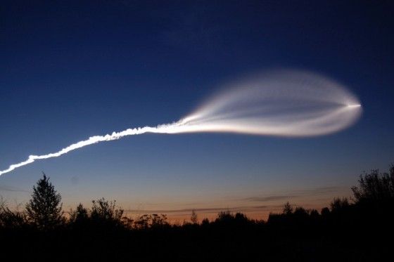
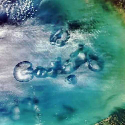
The appearance of the so-called "jellyfish" from the launch vehicle occurs in the tropopause. This is influenced by water vapors, which are subjected to increased condensation. Thus, these are also condensation traces, but of a slightly different kind.
Causes of uneven condensation tracesThe uneven distribution of water vapor in the atmosphere is the cause of the same "uneven" trace.
There are several examples of the causes of uneven tracks:
Wing end vortexA flying plane leaves behind a disturbed region of the atmosphere, called a satellite trail.
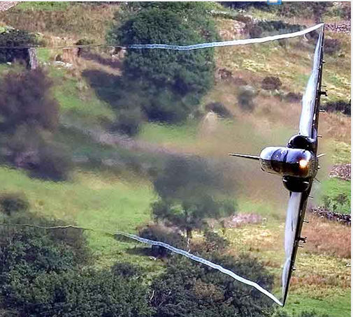
This trace is formed mainly by jet jets of engines and end vortices from the wing. The twisting is explained by the pressure difference on the lower and upper surfaces of the wing. As a result of the flow of air from the area of high pressure on the lower surface of the wing to the area of low pressure on the upper surface, powerful vortices are formed through its end. The greater the pressure drop and, consequently, the lifting force with which the flow acts on the wing, the greater the intensity of the end vortices. Circumferential velocities in a vortex track with a diameter of 8-15 m can reach 150 km/h.
Visualization of the end vortex was carried out using a tracer-generator of a smoke trail. Atmospheric disturbances caused by the impact of the vortex wake exist for a long time, gradually fading, reducing the circumferential speed of movement.
As a result of the interaction between each other, the vortices gradually descend and diverge.
Observing the condensation trail of a passing aircraft, we find that approximately 30-40 seconds after the flight of the aircraft, it begins to change its appearance under the influence of a developing vortex trail. At the intersection of condensation and vortex traces, very intricate shapes arise that have well-defined patterns.
Number of aircraft enginesDepending on the number of engines and their location on the aircraft, the condensation trail can be one- or two-lane.
The condensation trail and its transformation fix the aerodynamic processes accompanying the flight of the aircraft.
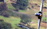
Separation-vortex flowsWhen performing maneuvers at high angles of attack (20 ° or more), the nature of the flow around the surfaces of the aircraft changes dramatically.
Tear-off areas are formed on the upper surface of the wing and fuselage, in which, due to a decrease in pressure, conditions arise for condensation of atmospheric moisture. Thanks to this, it is possible to observe the flight of the aircraft without tracers.
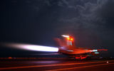
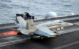
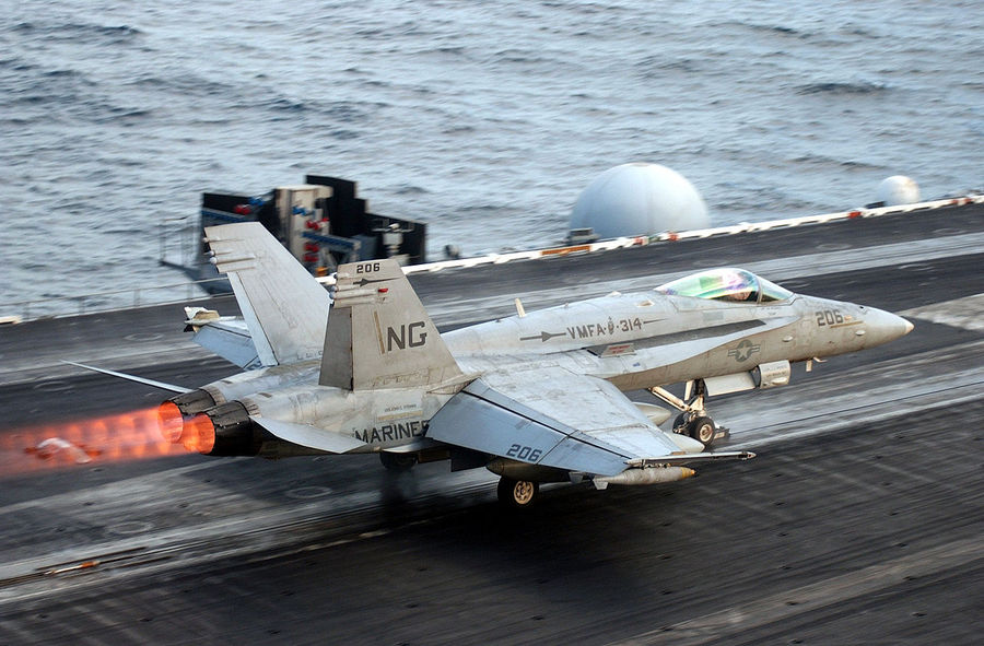
Bright afterburner trailThe engines of modern fighter aircraft are equipped with supersonic adjustable nozzles.
As a rule, in the afterburner mode of the engine, the pressure at the nozzle section exceeds the ambient air pressure. At a considerable distance from the nozzle section, the pressure in the jet and in the atmosphere should be equalized. As you move away from the nozzle section, the pressure in the jet decreases, and the gas velocity increases. The cross-section of the jet increases, which is schematically shown in the figure below.
The gas continues to expand by inertia, and in the widest section of the jet, the pressure becomes lower than atmospheric. After that, the jet begins to narrow, the pressure in it approaches atmospheric, and the speed decreases accordingly. The braking of the supersonic flow leads to a direct shock of the seal. As a result, in some part of the jet, the velocities become subsonic, and the pressure is correspondingly higher than atmospheric. As you can see, the shape of the jet becomes barrel-shaped. Then the process repeats.
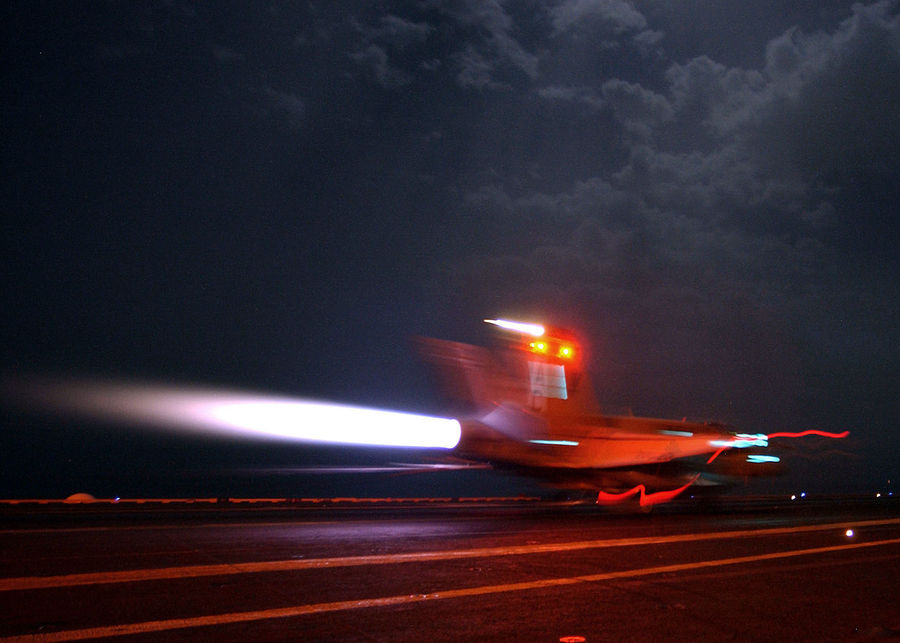
The gas jet has a temperature of more than 2000 ° C, so its glow makes visible the processes that occur when it expires. Areas of bright glow are visible in those places of the jet where direct jumps of compaction are formed.
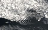
When the engine is running on the afterburner, a visible jet of incandescent gases appears behind the jet nozzle, having a characteristic "striped" structure, the so-called Mach disks).
With incomplete combustion of kerosene (due to lack of oxygen), the jet will have a red color with yellow vertical rings. If gorenje is well optimized, the flame color will be blue. Due to the imperfection of the fuel equipment of some engines, an interesting effect is sometimes observed - on the same aircraft, one engine has blue exhaust on the afterburner, the second has red or yellow.
To fly over the city, there are restrictions on the minimum height so as not to disturb residents with engine noise, so the aircraft over the city increases the height, which can cause the formation of a trace on this section of the trajectory.
Gradually, the balance between the surrounding air and water in the trail will begin to recover, and the trail will melt. The duration of this process depends on many factors. For example, from the content of water and particles of burnt fuel in the exhaust jet, which help the formation of fog, retaining moisture on themselves. Therefore, traces from different aircraft can melt in different ways – due to differences in fuel composition, engine design and tuning, differences in power and operating modes.
At night, the traces are thicker and last longer - because at night the atmosphere is more stable and the condensate cloud is not heated by the sun. Which keeps its temperature within the dew point.
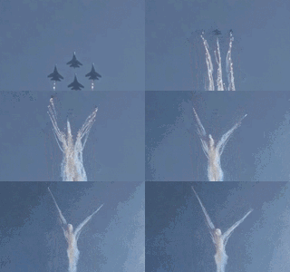
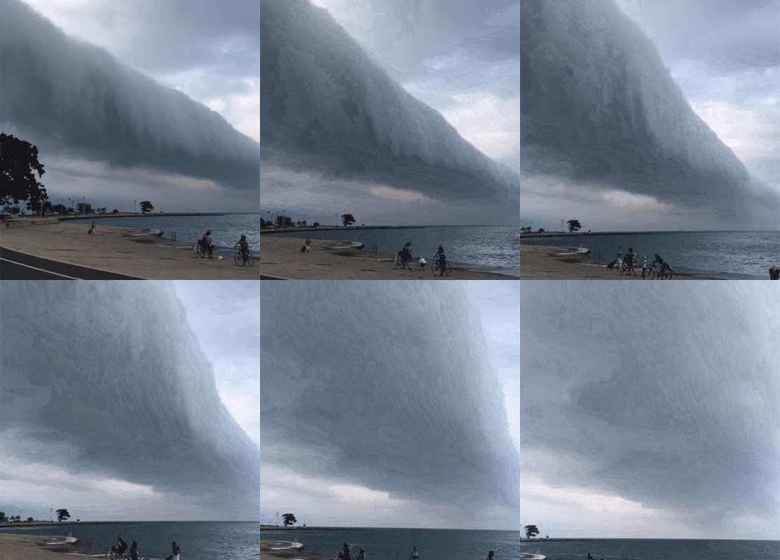
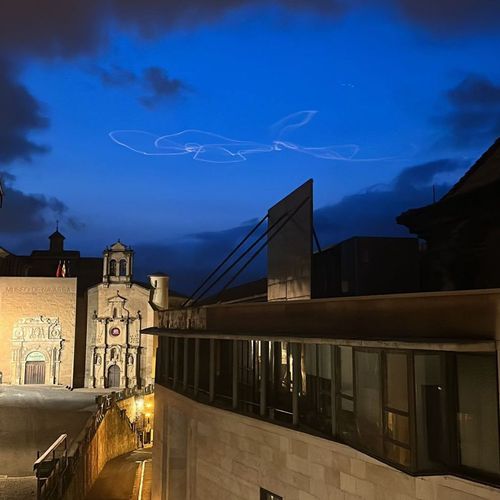
Bizarre shapes of man-made clouds
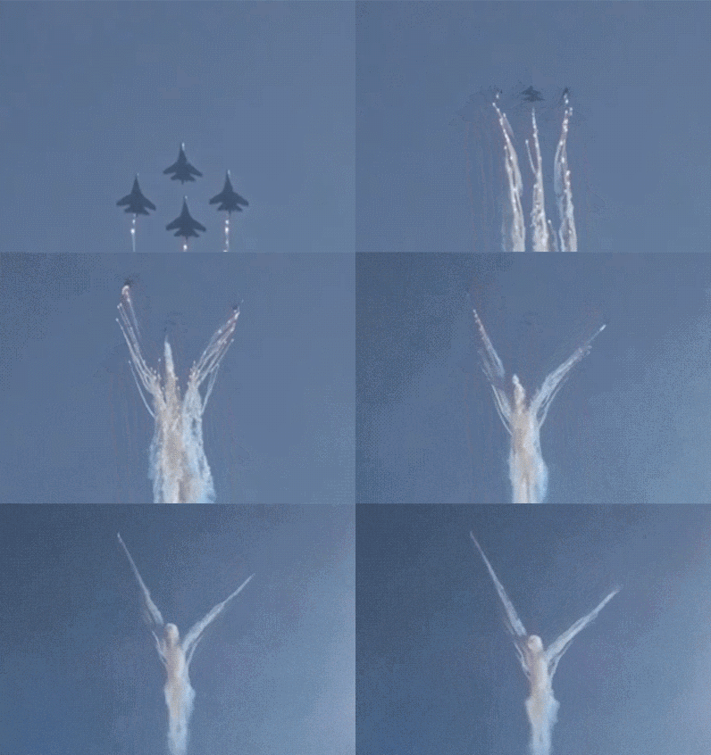
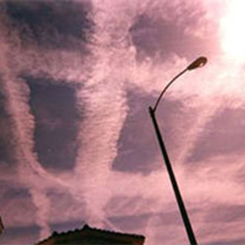
Depending on the environmental conditions (for example, air flows) and the characteristics of the aircraft, they can take bizarre forms.
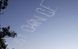
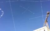
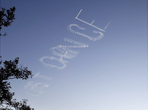
Sometimes with the help of such traces, you can create drawings or even write letters, symbols, words and whole sentences. This type of writing is called Skywriting. The first inscriptions in the sky were made in England in 1919, in America in 1920. Now the inscriptions can be of various colors and sizes and are applied mainly for advertising purposes.
It is usually white, but it can also be dark in color. A dark trail behind an ordinary aircraft is formed from not completely burned fuel. This usually happens in transient modes, i.e. during acceleration or maneuver.
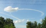
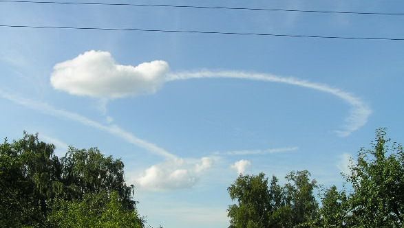
The condensation trail in the form of a loop (circle, sharp turn) is often left by an aircraft that performs visual monitoring of the weather condition. In this case, the aircraft rises to 10,000 m, stands in a circle to communicate with alternate airfields and then descends in a short spiral.
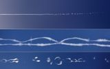
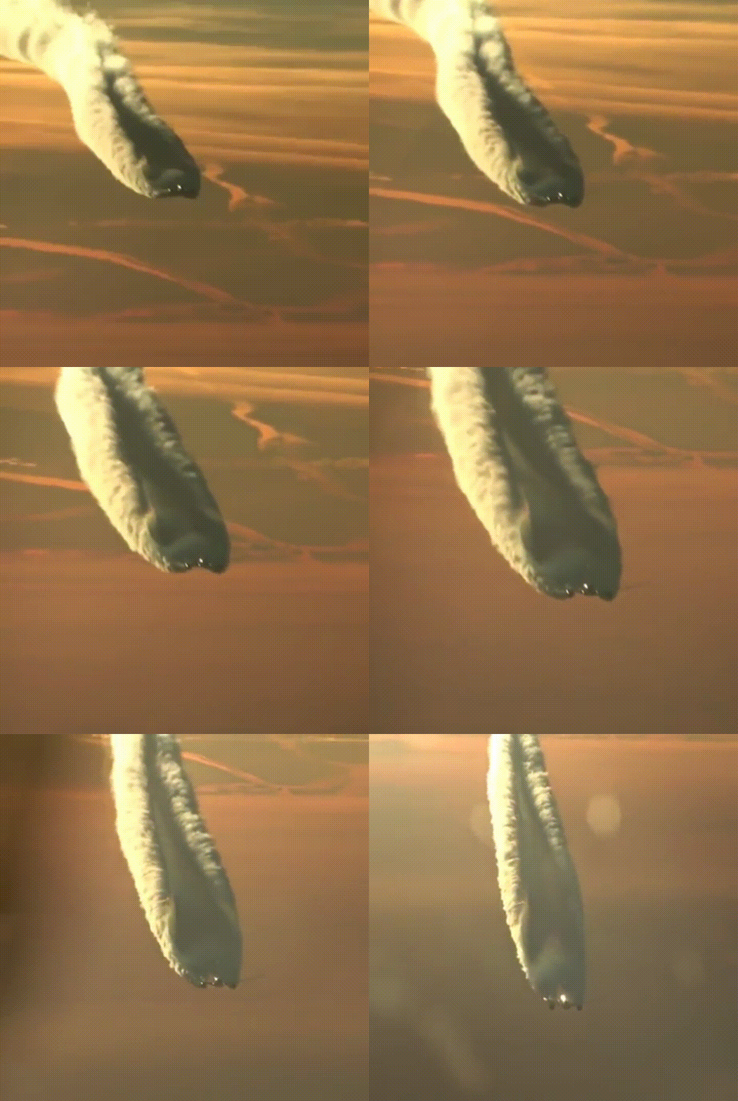
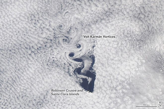
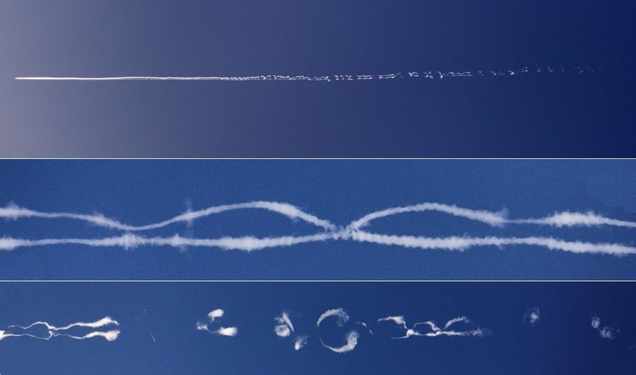
Sometimes condensation (inversion) traces from airplanes can take bizarre shapes and outlines: various vortices, rings appear in them, rounded structures, turrets, threads loom. Such formations are caused by the action of the instability of Crow (Crow Instability) by the name of its discoverer. Most often, this phenomenon is observed for huge liners, when air vortices behind the wings interact with the contrail and create sinusoidal oscillations, distorting its original structure.
Wind
The movement of clouds in different directions can be observed in cases when they are not continuous, they are located at different levels, and the wind at different heights has a different direction.
Clouds in the air move along the airflow, and it changes with altitude sometimes not very noticeably, and sometimes by a very significant angle, easily fixed visually, without any instruments. There are several reasons for the change in the direction and speed of the wind with altitude: in the lower one and a half kilometer layer, it is a decrease in the friction of the air flow on the earth's surface (the wind with altitude increases as the friction weakens and gradually turns to the right by several tens of degrees, usually no more than 30-40 °); at higher levels, it is influenced by the horizontal temperature distribution experiences left or right rotation, increases or decreases, may even change direction to the opposite. Meteorologists know that with altitude, when transferring heat, the wind gradually turns to the right, when transferring cold, to the left. In general, it always obeys a simple law: it blows along the lines of equal pressure - isobar, leaving a low pressure area on the left. The position of the isobars with height changes in accordance with the horizontal distribution of air temperature.
Due to friction with the earth's surface, the wind speed at the ground is less than at altitudes. The layer of air in which the speed deceleration occurs is called the braking layer. On flat terrain, the height of the braking layer is 1-2 km. The higher the speed, the stronger the influence of the Coriolis force, therefore, as the height increases in the braking layer, a turn to the right in the Northern hemisphere and to the left in the Southern hemisphere occurs.
In the braking layer, the wind speed increases with increasing altitude, and its direction in the Northern Hemisphere turns to the right.
The wind is calm only at low speeds (up to 4 m/s) — air particles move along parallel trajectories. At a speed of more than 4 m / s, the air flow acquires a swirling (turbulent) character, in which the paths of individual air jets intersect and become very complex.
There is a stable pattern of decreasing wind speed with altitude and changing the wind direction to the opposite in the stratosphere during the warm season. This wind reversal occurs at an altitude of about 20 km . In fact, the transition of the wind from the west to the east, that is, the opposite, occurs in a layer several hundred meters thick. This layer is called the bicycle pause. The change in wind direction is associated with the formation of a high-altitude anticyclone in the stratosphere in summer, which replaces the winter cold near-polar cyclone during the polar day. As soon as at altitudes the direction in which the pressure decreases changes along the horizon to the opposite, the wind direction changes in the same way.
Meteorological wind data indicated in the weather forecast on thematic sites or in the media is determined by averaging over a 10-minute period of time the readings of an anemometer located at a 10-meter height. These measurements can be repeated every hour.
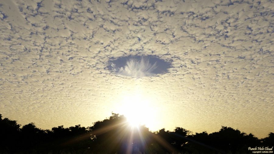
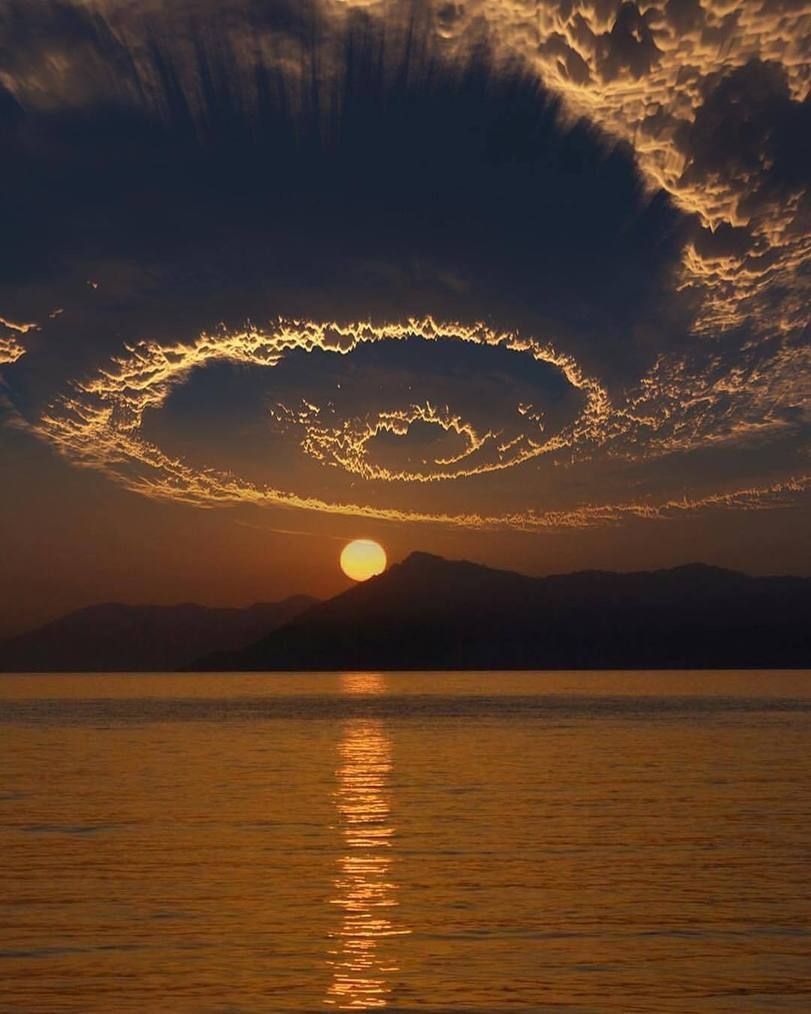
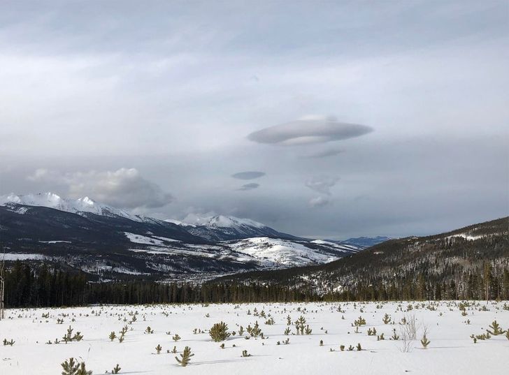
Thus, the clouds themselves, due to the variety of shapes, can be mistaken for UFOs, but they can also serve as assistants for calculating the approximate altitude of a UFO flight. To do this, it is necessary to know the classification of clouds and the processes occurring in the troposphere.
Thanks to this data, it is possible not only to calculate (or simply estimate) the height of the movement of an object flying in the sky and its speed, but also to distinguish objects moving due to the wind and independently of it.
First of all, noticing an object flying in the sky, you need to pay attention to the presence of clouds. By their appearance, you can determine the type. This will allow you to estimate the approximate altitude of the cloud. Having found out whether the object is hiding behind a cloud, or is located below it, you can note the approximate altitude of the object's flight.
In addition, the above data allow us to estimate approximately the speed of the object.
The object can move in the direction of the movement of clouds, against, and have an independent flight path. It is possible to estimate the type of such movement of an object by comparing the trajectory and speed of movement of the object and clouds at the height of movement of the object (since the wind speed and direction may differ at different heights).
You can calculate the relative velocity of an object by measuring the time of movement of a cloud or part of it relative to stationary objects (for example, between two branches of a tree) and the time for which the observed object flies the same distance.
If it was possible to determine that the object is flying at a low altitude (less than 1 km), then it is worth paying attention to the smoke if there are pipes in the visibility zone (for example, factory ones). The height at which the smoke stops rising indicates a temperature inversion and a possible wind shear. Horizontal smoke from the pipe indicates a wind speed exceeding 6...8 m/s. The angle of deviation of the smoke from the vertical indicates its strength – the greater the angle, the greater the wind force.
Pannus, scud, scud clouds or scud clouds, is a type of fragmented cloud at a low altitude above the ground, isolated and irregular in shape, occurring under layered rain, cumulonimbus, highly layered and cumulus clouds. These clouds often have a ragged or thin appearance.
Related facts
Related news
Related articles
Log in or register to post comments
