| Added | Sun, 08/03/2020 |
| Источники | |
| Дата публикации | Fri, 06/03/2020
|
| Версии |
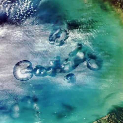
Suomi NPP satellite image of the coastal island between Baffin island and Greenland on March 2, when the Labrador sea was streaming cloud track.
When used combination visible and infrared light, the snow and ice in the picture looks bright blue, and clouds white. Orientation of cloud tracks indicates that strong cold wind was blowing from North to South. When the cold air moved over the relatively warm ocean water, it was heated and the collected moisture is necessary for the formation of Cumulus clouds.
Cloud paths are formed when the flow of heated air — thermals — rise into the atmosphere and carry heat from the sea surface. Moist air rises until, until you reach a warmer layer of air. Temperature inversion causes the thermals to roll over, creating parallel cylinders of rotating air. On the increasing side cylinders condenseries water vapor and forms clouds. Along the descending side of the sky is clear.
Arctic ice usually reaches its annual maximum in mid-or late March. The area of sea ice this winter was below average.
The geostationary NOAA satellite GOES-16 also received pictures of cloud tracks 2 Mar.
Translated by «Yandex.Translator»
Новости со схожими версиями
Log in or register to post comments


