| Added | Wed, 09/11/2022 |
| Источники | |
| Дата публикации | Wed, 09/11/2022
|
| Версии |
For the first time, Australian specialists from the CSIRO association have created a full-fledged map of the seabed in the area of the Cocos Islands located in the waters of the Indian Ocean. Published on Phys.org the press release says that researchers found a giant mountain under water with a corresponding relief adjacent to it. In addition, as a result of underwater photography carried out from the Investigator scientific vessel, experts were able to capture unique marine ecosystems, including fish species and various organisms hitherto unknown to the scientific community.
The complete map of Australian researchers includes not only coastal areas with a depth of 100 meters, but also the so-called abyssal zone, the depth of which, in turn, is about five kilometers. As part of their research, scientists have determined that the Kosovo Islands are located on two peaks of a large seamount.
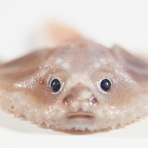
Moreover, experts have found hitherto unknown species of marine life, which include an unknown species of blind eel, flattened sea urchins, pelican-shaped largemouth, as well as underwater fish-bats and many other unique individuals.
Новости со схожими версиями
Log in or register to post comments


