| Added | Mon, 10/06/2024 |
| Источники | Beaver County Times - мар 19, 1960
|
| Дата публикации | Sat, 19/03/1960
|
| Версии |
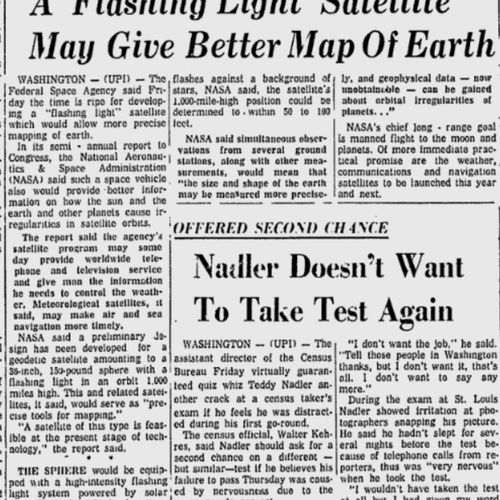
Washington. The Federal Space Agency said on Friday it was time for a "flashing" satellite that would allow for more accurate mapping of the Earth.
In its semi-annual report to Congress, the National Aeronautics and Space Administration (NASA) reported that such a spacecraft will also provide better information about how the sun, Earth and other planets lead to disturbances in satellite orbits.
According to the report, the agency's satellite program will one day be able to provide worldwide telephone and television service, as well as give people the information they need to control the weather. Meteorological satellites, the report says, can make sea and air navigation more accurate.
NASA has announced that a preliminary design has been developed for a geodetic satellite, which is a 36-inch, 150-pound sphere with a flashing light in orbit at an altitude of 1,000 miles. This and subsequent satellites will serve as "precision mapping tools."
"A satellite of this type is possible at the current stage of technology development," the report says.
The sphere will be equipped with a high-intensity flashing light powered by solar panels. Each flash of light lasting one thousandth of a second will be synchronized with telemetry signals.
By photographing flashes of light against a background of fixed stars, NASA says, the satellite's position at an altitude of 1,000 miles can be determined with an accuracy of 50 to 100 feet.
According to NASA, simultaneous observations from several ground stations, together with other measurements, mean that "the size and shape of the Earth can be measured more accurately, and geophysical data on the orbital disturbances of other planets – unavailable now – can be collected."
NASA's main long–term goal is a manned flight to the moon and planets. More practical prospects are meteorological, communication and navigation satellites, which will be launched this year and next.
Новости со схожими версиями
Log in or register to post comments


