| Added | Tue, 29/05/2018 |
| Источники | |
| Дата публикации | Mon, 28/05/2018
|
| Версии |
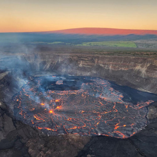
Although the volcano Kilauea continuously erupting since 1983 (the active crater of Puu OO), the situation took a dangerous turn in may 3, 2018, when in a residential area Leilani-estates opened new cracks. Three weeks later, some cracks become less active, but a few others appeared along the lower East rift zone, including North-East from Leilani.
As of may 25, 2018 geologists from the U.S. Geological survey recorded a 23 crack. One of the most active — crack number 22, which formed a lava flow that extends to the South-Eastern coast of the island of Hawaii. This lava flows into the ocean near McKenzie Park. Although the fact that the lava from Kilauea volcano reached the ocean, it is not unusual, this "entry point" has become a new.
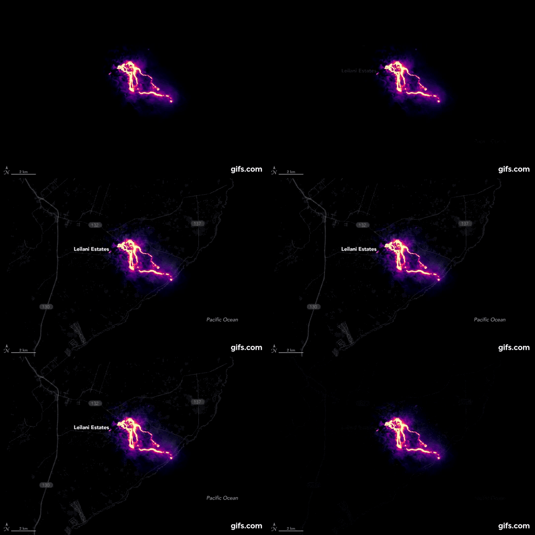
With a set of OLI on the NASA satellite Landsat 8 has managed to get this image of the lava flows at night on may 23. Although it was cloudy, a small gap in the clouds allowed us to collect data. The image is based on observations in the near infrared range. Purple area surrounding the streams is clouds, lit from below. Also been used daily from the OLI data about the location of roads and coastlines.
Geologists from the Hawaiian volcano Observatory are closely monitoring the eruptions from cracks. While seismometers and other ground-based instruments can track the underground movement of magma, it is impossible with a high degree of accuracy to predict how long a specific crack will remain active or how much lava it will produce. In the coming weeks, the magma may continue to appear from new cracks or to move between existing ones. According to Patrick from Willy space flight Center name Goddard (NASA), the eruption can also be concentrated in some of the Central craters. It is unclear whether this is a new phase for Kilauea or is it just a short-term escalation through the month, the activity will again be focused in the crater of Puu OO.
Translated by «Yandex.Translator»
The image is based on observations in the near infrared range. Purple area surrounding the streams is clouds, lit from below. Also been used daily from the OLI data about the location of roads and coastlines.
Translated by «Yandex.Translator»
Новости со схожими версиями
Log in or register to post comments
