| Added | Sat, 09/03/2024 |
| Источники | |
| Дата публикации | Fri, 15/10/2021
|
| Версии |
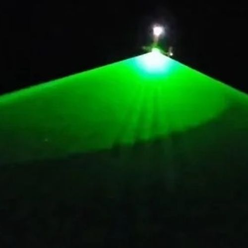
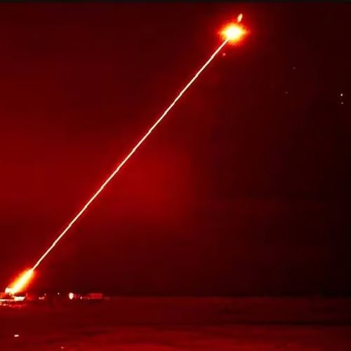
It was a scene straight out of a sci-fi thriller: a wide beam of green light coming from an airplane overhead scanned the ground in the dark. Videos like the one below have been posted on social media, showing a creepy and — for many —completely mysterious scene on the coast of Southern California.
The flight left people perplexed, but what is happening is understandable. The aircraft in question was equipped with an advanced lidar system operated by an engineering consulting firm Woolpert in support of the U.S. Army Corps of Engineers (USACE) National Coastal Mapping Program.
The purpose of such flights, called bathymetric scanning, is to map coastal waters in high resolution. Lidar, short for "light detection and ranging," uses lasers to accurately measure distances from a receiver. Although the eerie experience of scanning from above can be unnerving, lasers are safe for the eyes, given the height of the aircraft and the short duration of exposure.
Twitter users also shared a video of what the aerial scanning process looks like. Here you can see a large circular pattern of lidar scanning passing over the area:
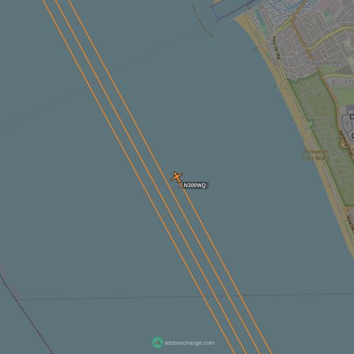
Residents of the California coast may have been noticing flights for a while. The mapping process, despite its high accuracy, requires a long airtime. According to an article written for Lidar Magazine by Jennifer Wozencraft, a research scientist at USACE, a study conducted in California in 2015 required more than 1,000 flights in 90 days. Observers in the area of the current study are likely to notice that the Woolpert King Air 300 turboprop makes repeated passes as part of the data collection process. Some flights are operated at night so as not to interfere with heavy air traffic in the region.
Связанные факты
Новости со схожими версиями
Log in or register to post comments


